
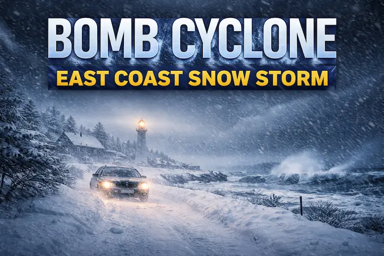
As large portions of the United States remain under freezing temperatures, a powerful bomb cyclone is expected to bring heavy snow, damaging winds, and potential blizzard conditions to parts of the East Coast and the South this weekend.
According to the National Weather Service (NWS), a major winter storm warning is in effect from Georgia through Virginia as of Saturday, January 31. Forecasters say heavy snowfall and strong wind gusts will impact the southern Appalachian Mountains, coastal Carolinas, and southeastern Virginia.
The most severe conditions are forecast for North Carolina, where meteorologists warn the rapidly intensifying storm could create dangerous travel and life-threatening weather. Inland areas may receive 8 to 12 inches of snow, with blowing snow and drifting caused by strong winds.
Along the Outer Banks, snowfall totals may be lower, but wind gusts could reach up to 70 mph, nearing hurricane-force strength. Coastal flooding warnings have also been issued for vulnerable shoreline areas.
“Now is the time to hunker down,” said Scott Kennedy, a meteorologist with the NWS office in Morehead City, North Carolina, adding that snow had already begun accumulating early Saturday morning.
After the storm system passes, an intense surge of Arctic air is expected to plunge unusually far south. The NWS forecasts record-low temperatures and dangerous wind chills near or below 0 degrees Fahrenheit across much of the Southeast through Tuesday. By Sunday morning, even parts of southern Florida could see below-freezing temperatures.
More than 130 million people across the United States are currently under cold weather and winter storm alerts, according to AccuWeather meteorologist Brandon Buckingham.
Weekend Winter Storm Forecast Explained
The coastal cyclone is expected to produce moderate to heavy snowfall, powerful winds, and possible blizzard conditions across the Carolinas through Saturday night, according to the NWS Weather Prediction Center. The Eastern Seaboard may also experience coastal flooding due to strong onshore winds.
Forecasters say the core of the Arctic air mass will push unusually far south over the weekend, challenging or breaking daily low-temperature records from the Mid-Atlantic to the Deep South into early next week.
Meanwhile, parts of the Plains and Great Lakes regions are forecast to see a mix of rain and snow from January 31 into February 1, accompanied by bitterly cold temperatures.
How to Stay Safe During Winter Storms
If you must go outside, experts recommend wearing waterproof boots and dressing in loose layers to trap warm air. A hat, scarf, and gloves are essential to prevent heat loss, according to the National Institute on Aging.
It’s also important to recognize the warning signs of frostbite and hypothermia, which can be life-threatening, as outlined by Ready.gov.
Drivers should reduce speed, remain alert for black ice, and ensure their vehicle is winter-ready by checking fluid levels, tires, windshield wipers, and fuel. Let someone know your travel plans and carry an emergency kit.
Strong winds and heavy snow may also cause power outages, so keep extra food, water, batteries, and blankets on hand. When shoveling snow, take frequent breaks, as cold temperatures and physical exertion increase the risk of injury and heart strain, according to the American Heart Association.


Leave a Reply